MISSION CONTROL
Real-time Simulation of Drone Operations in VR
Conceptualizing an immersive digital twin for real-time mission monitoring, syncing live drone telemetry with a spatially-accurate 3D environment.
Focus Areas
- VR Interaction Design
- Telemetry Visualization
- Spatial UI Architecture
Timeline
2024 — 6 Weeks
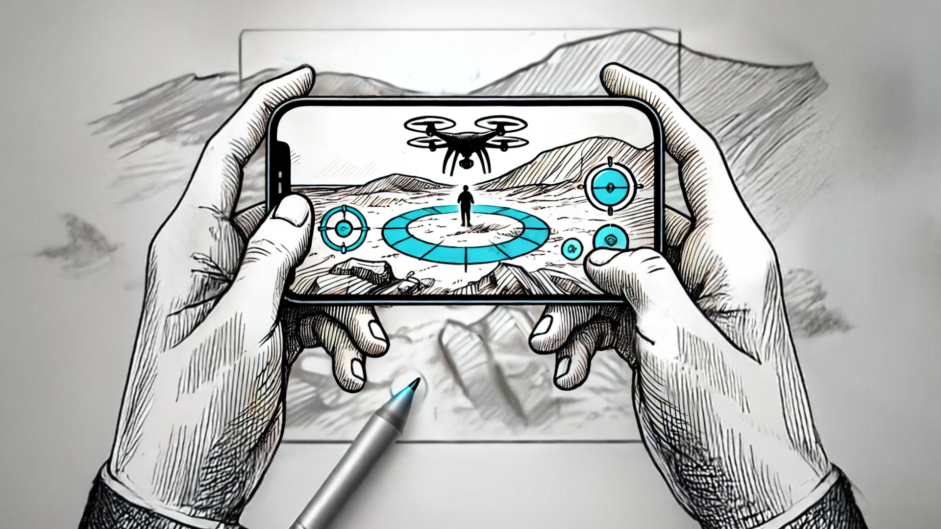
Building a spatially-accurate real-time mirror of physical flight operations.
The objective was to create a 3D island map synced with live drone data, allowing operators to monitor mission status through an immersive, three-layer UI system. This includes a fixed HUD, spatial 3D elements, and a holographic mission control panel.

The Process & Discovery
The journey began with extensive stakeholder interviews and user shadowing to uncover the real pain points, not just the perceived ones.
We moved quickly from low-fidelity wireframes into interactive prototypes, validating our assumptions with real users every week. This iterative cycle ensured that the final design was stress-tested against actual use cases before a single line of production code was written.
The Result
The result is a zero-latency digital twin that visualizes altitudes, speeds, and battery status directly within the spatial environment, significantly reducing the cognitive load on operators during complex multi-drone missions.
Up Next — Selected Work 03